practicalboatownerβίντεο
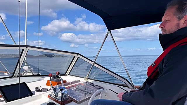
How to read the skies
9 Αυγούστου 2017 · 32 λεπτά · 19K προβολές
Τι καλύπτει αυτό το βίντεο
Weather forecasting for sailors relies on identifying 10 cloud types categorized by altitude and their relationship to pressure systems and fronts.0:21 High-level cirrus, cirrocumulus, and cirrostratus clouds consist of ice and often signal an approaching warm front.2:22 Medium-level altocumulus and altostratus precede rain-bearing nimbostratus, which indicates a warm front is overhead.10:45 Low-level clouds include stratus, stratocumulus, and cumulus, with cumulonimbus representing the most dangerous, energy-dense clouds capable of producing squalls.4:41 As a warm front approaches, barometric pressure drops, winds increase and back, and clouds lower.13:03 Cold fronts bring nimbostratus and potential hidden cumulonimbus, causing pressure to rise and winds to veer after passage.11:27 A reliable rule of thumb for wind strength states that a pressure change of 8 millibars in three hours predicts a Force 8 gale, while a 5-millibar change indicates a Force 6.24:58 Sailors can locate low-pressure centers by standing with their back to the wind; the low pressure lies to the left in the Northern Hemisphere.23:32
Περισσότερα από το practicalboatowner




Από practicalboatowner — δείτε το σκάφος του καναλιού, το πλήρωμα και κάθε αναλυμένο βίντεο.
The Sailing Directory Newsletter
Ένα email με τις καλύτερες ανακαλύψεις του στόλου — τις στιγμές, τα σκάφη και τις ιστορίες που αξίζουν τον χρόνο παρακολούθησής σας. Εισάγετε τη διεύθυνσή σας για να λάβετε το δικό σας αντίγραφο.