City Sailingβίντεο
The Waypoint Plotting Mistake That Causes Disasters
16 Ιουλίου 2020 · 9 λεπτά · 6K προβολές
Τι καλύπτει αυτό το βίντεο
Navigating by GPS waypoints requires verifying that both the chart and the GPS unit use the same datum, typically WGS 84, to prevent positional errors.0:05 When plotting a route, zoom in on electronic charts to ensure the straight-line path between waypoints does not cross land, shoals, rocks, or restricted areas.2:10 Avoid using charted objects like buoys as direct waypoints, as this creates a collision risk in restricted visibility; instead, offset waypoints to one side.2:49 Always cross-reference the planned route against almanacs and pilot books for navigation warnings, such as shipping channels or no-go zones.5:37 During a passage, monitor progress using the trip log, bearings, and distances, while maintaining a constant awareness of the vessel's position through secondary methods like visual fixes, depth soundings, or radar.7:18 Periodically verify the route by checking for the nearest danger relative to the current position.4:59 Always maintain an alternative source of positioning in the event of GPS failure.9:35
Περισσότερα από το City Sailing

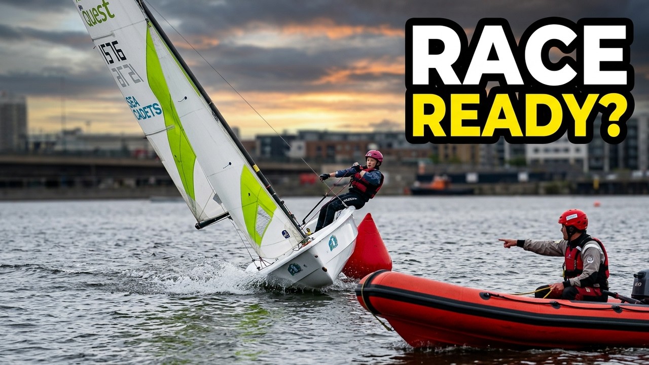

Από City Sailing — δείτε το σκάφος του καναλιού, το πλήρωμα και κάθε αναλυμένο βίντεο.
The Sailing Directory Newsletter
Ένα email με τις καλύτερες ανακαλύψεις του στόλου — τις στιγμές, τα σκάφη και τις ιστορίες που αξίζουν τον χρόνο παρακολούθησής σας. Εισάγετε τη διεύθυνσή σας για να λάβετε το δικό σας αντίγραφο.