Sailing Triteiavideo
Sailing in Dangerous Waters to an Unnamed Reef at Take Bonerate National Park in Indonesia
10. februar 2025 · 17 min · 101K visninger · Taka Bonerate National Park
Hva denne videoen dekker
James and Rhonda navigate Triteia through the reef systems of Takabonerate National Park in Indonesia, where standard digital charts prove unreliable.2:18 Because the area lacks visible breakers or land features to identify reef edges, the crew relies on custom satellite overlay charts created in OpenCPN to plot a safe route.2:50 They cross-reference these custom charts with Navionics on an iPad and laptop, noting significant discrepancies between the two systems.4:08 During the transit through the West Pass, the vessel maintains a minimum depth of 45 feet.4:28 Upon reaching their destination, the crew anchors in 33 feet of water with 5:1 scope to explore a remote, tide-dependent sand cay.8:03 To mitigate extreme heat in the cabin, the crew buckets seawater over the deck to lower the interior temperature.15:57 Custom satellite imagery provides a necessary navigation alternative when official electronic charts fail to accurately represent reef topography.3:38
Båter i denne videoen
Mer fra Sailing Triteia
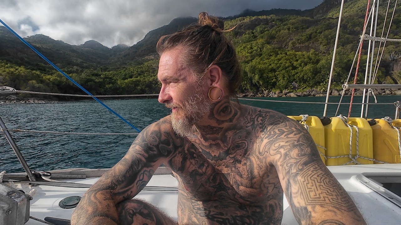
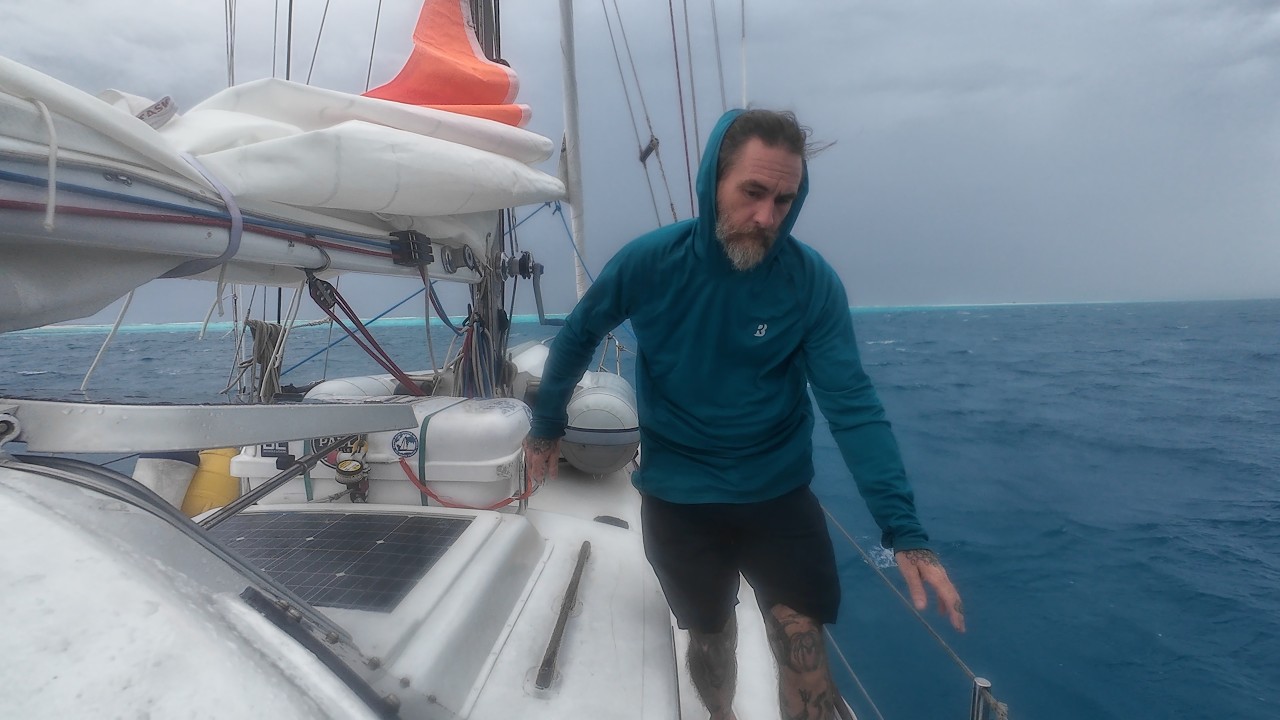

Fra Sailing Triteia – se kanalens båt, mannskap og alle analyserte videoer.
The Sailing Directory Newsletter
Én e-post med flåtens beste funn – øyeblikkene, båtene og historiene som er verdt din seertid. Skriv inn din egen adresse for å få din egen kopi.