Sailing to the Azores using celestial navigation
21 Ιουνίου 2023 · 48 λεπτά · 2K προβολές · North Atlantic Ocean
Τι καλύπτει αυτό το βίντεο
A crew sailing toward the Azores uses celestial navigation to determine their position, plotting sun sights on a graph to calculate an estimated position (EP) and a final fix.2:00 The process involves measuring the sun's angle with a sextant, calculating the Greenwich Hour Angle (GHA) and Local Hour Angle (LHA), and plotting a position line from an assumed position (AP).8:07 To account for the boat's movement between the morning sight and a noon sight, the crew advances the morning position line by the distance traveled, determined by log readings.29:28 The final fix is established at the intersection of this transferred position line and the latitude derived from the noon sight.34:55 During the passage, the crew manages traffic, including a close-quarters encounter with a tanker, and discusses the hazards of encountering floating debris like channel markers in the open ocean.40:53 The passage concludes after six days at sea with a successful arrival in the Azores.47:50
Σκάφη σε αυτό το βίντεο
Περισσότερα από το Leon Schulz, Reginasailing
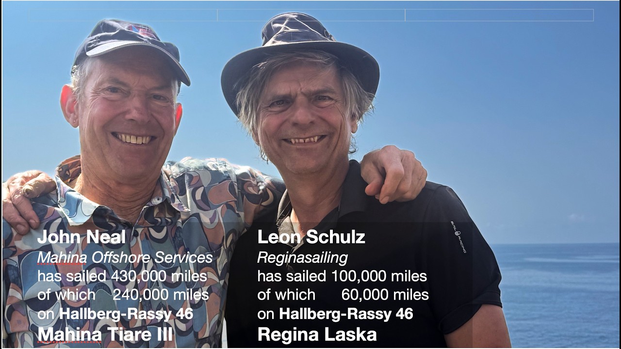
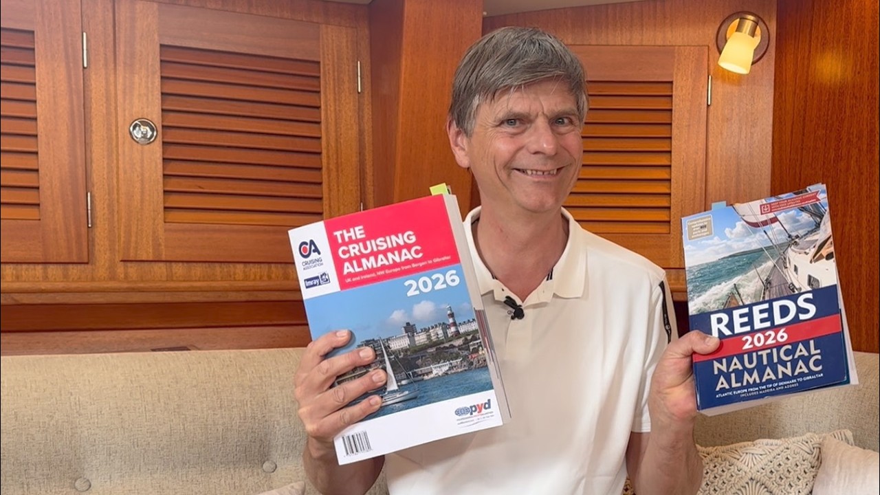

Από Leon Schulz, Reginasailing — δείτε το σκάφος του καναλιού, το πλήρωμα και κάθε αναλυμένο βίντεο.
The Sailing Directory Newsletter
Ένα email με τις καλύτερες ανακαλύψεις του στόλου — τις στιγμές, τα σκάφη και τις ιστορίες που αξίζουν τον χρόνο παρακολούθησής σας. Εισάγετε τη διεύθυνσή σας για να λάβετε το δικό σας αντίγραφο.