Celestial Exercise for Part 9: Plotting a Position
16 Ιουλίου 2021 · 38 λεπτά · 23K προβολές · Atlantic Ocean
Τι καλύπτει αυτό το βίντεο
A navigator determines a vessel's position using a morning sun sight and a noon meridian passage sight, plotting the results on a paper chart without GPS. The process begins with a morning sextant observation of the sun's lower limb at 11:45:11, corrected for index error, dip, and refraction to reach an observed altitude.2:08 Using sight reduction tables for an assumed position of 14°00'N and 52°13'W, the navigator calculates an intercept of 11 nautical miles toward the sun along an azimuth of 124°.13:57 After sailing 32 nautical miles on a 271° course, the navigator performs a running fix by advancing the morning position line parallel to the course made good.33:25 A subsequent noon sight provides a latitude of 14°07'N.23:25 By intersecting this latitude with the advanced morning position line, the navigator establishes a final noon fix at 14°07'N and 052°28'W.35:55 The technique relies on consistent use of the sextant, accurate dead reckoning between sights, and precise application of the arc-to-time conversion table.
Σκάφη σε αυτό το βίντεο
Περισσότερα από το Leon Schulz, Reginasailing
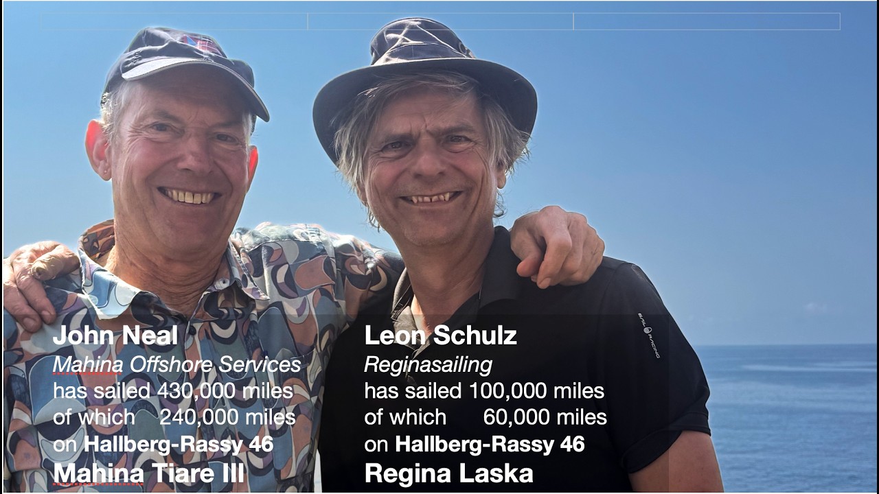
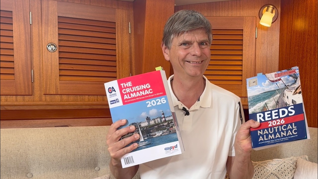

Από Leon Schulz, Reginasailing — δείτε το σκάφος του καναλιού, το πλήρωμα και κάθε αναλυμένο βίντεο.
The Sailing Directory Newsletter
Ένα email με τις καλύτερες ανακαλύψεις του στόλου — τις στιγμές, τα σκάφη και τις ιστορίες που αξίζουν τον χρόνο παρακολούθησής σας. Εισάγετε τη διεύθυνσή σας για να λάβετε το δικό σας αντίγραφο.