147 | SAILING using APPS and ASTRONOMICAL navigation - Sailing Around the World
8 de junio de 2020 · 17 min · 15K visitas · Marina of Rome
Qué cubre este vídeo
Planning a sailing route involves a multi-step process using digital tools to ensure safety and efficiency. Thais Canado and Beto Toledo use Google Maps to identify potential destinations and necessary shore-side infrastructure, such as supermarkets and medical services.1:36 For navigation and route planning, they rely on Navionics to calculate distances and identify hazards, while Wind provides real-time data on wind speed, wave height, and direction.3:02 When anchoring, they use the Anchor app to set a virtual perimeter that triggers an alarm if the boat drags.5:00 The crew emphasizes the importance of redundancy, maintaining paper charts and multiple mobile devices as backups to electronic plotters.5:58
Guilherme Azevedo, an officer from the Brazilian Navy, explains the continued relevance of celestial navigation as a safeguard against GPS signal interference, spoofing, or satellite failure.6:17 He recommends using the open-source software Stellarium to familiarize oneself with the movement of celestial bodies and the horizon.12:44 Celestial navigation serves as a method to calibrate GPS data rather than replace it.10:17 Beginners should start by observing the stars and sun to develop a spatial sense of latitude and longitude before attempting complex trigonometric calculations.12:37
Más de SAWLORS - Sailing Around the World
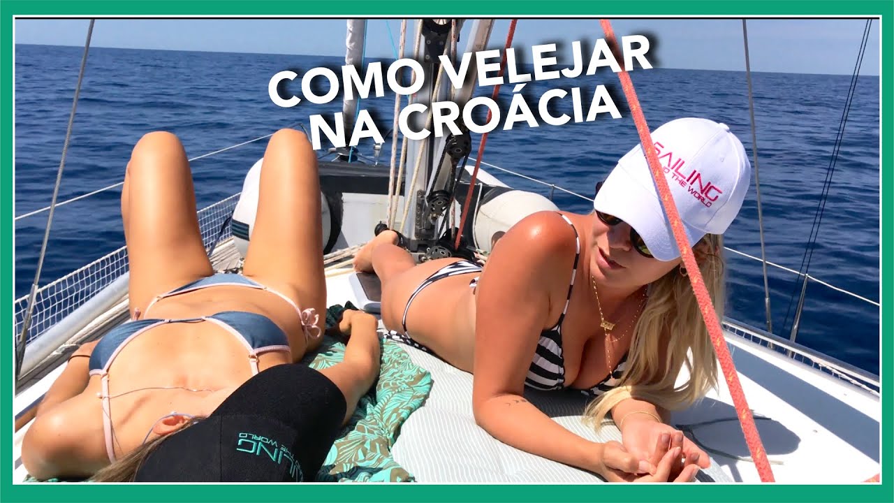
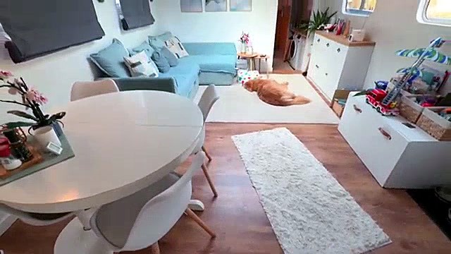
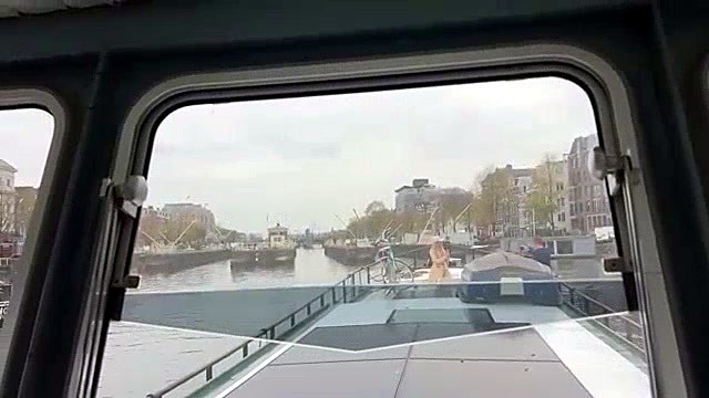


De SAWLORS - Sailing Around the World — mira el barco del canal, la tripulación y cada vídeo analizado.
The Sailing Directory Newsletter
Un correo electrónico con los mejores hallazgos de la flota: los momentos, barcos e historias que merecen tu tiempo de visionado. Introduce tu dirección para recibir tu propia copia.