03 Sailing among icebergs - Weather - Vertical Classroom
16 de enero de 2026 · 21 min · 4K vistas · Around 50°S, south of the South Atlantic,
Crew monitors weather data while sailing through iceberg waters
¿Qué cubre este video?
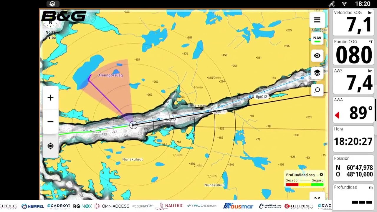
Paula and Pedro are sailing among icebergs near 50°S, two months and roughly 7,700–7,800 miles out of Castellón and ten days out of Mar del Plata, with 50-knot gusts expected that night.0:17 Paula explains the full weather and ice-routing workflow used aboard.1:51 The primary forecast tool is Prediwin, checked at least once daily; iceberg positions are plotted inside Prediwin so ice locations can be read against the forecast simultaneously.7:06 Navarea 6 (Argentina) radio navigational warnings supply large-iceberg positions and the ice limit; a U.S. table lists individual iceberg coordinates, dimensions, and last-recorded positions.5:41 The Polar View website layers marine-ice concentration charts (Norwegian), glacial-iceberg charts (Argentine — the only source found for that ice type), and Sentinel SAR satellite imagery.8:06 The crew holds 50°S rather than pushing south toward 66°S because glacial-iceberg density in the red-risk zone makes deeper southing too dangerous for a non-ice-strengthened vessel.11:14 Two dual-radar watches replace solo watches once icebergs appear on all sides; speed is reduced at night.10:26 Continuous westerly depressions crossing the Southern Ocean require timing sail reductions — staysail alone, or staysail plus fourth reef — around each system.1:04 Argentine and Chilean ice charts and pilot books are rated the best available sources for this sector.18:04
Más de Allende los Mares · Vuelta Vertical


De Allende los Mares · Vuelta Vertical — ve el barco, la tripulación y cada video analizado del canal.
The Sailing Directory Newsletter
Un correo electrónico con los mejores hallazgos de la flota: los momentos, barcos e historias que valen tu tiempo de visualización. Ingresa tu propia dirección para obtener tu propia copia.