Leon explains: Warmfront, Coldfront, Fog
30 de enero de 2025 · 37 min · 955 vistas · Malta
¿Qué cubre este video?
Leon Schulz explains Northern European frontal weather systems for sailors, drawing on his book *Praxis Guide Fahrtensegeln*.1:35 Starting from a synoptic chart with a low at 999 hPa and a high at 1022 hPa, he walks through how to read isobar spacing for wind strength, how wind circulates anticlockwise around lows in the Northern Hemisphere, and how the low's direction of travel runs parallel to the warm-sector isobars.5:28 The warm front arrives first: pressure drops from roughly 1014 to 1006 hPa, wind veers from south to southwest, and a sequence of cirrus, altostratus, and nimbostratus clouds produces drizzle up to 600–700 km ahead of the surface front.8:37 Visibility deteriorates to fog — specifically advection fog — driven by warm, moist Atlantic air; this fog persists for days until the cold front clears it.13:08 The cold front follows as a wedge of polar air that lifts warm air sharply, generating cumuliform clouds, heavy showers, and potentially thunder, but also a rapid pressure rise and excellent post-frontal visibility.20:22 Wind veering, barometric trend, and cloud sequence together give a sailor advance warning of each stage, allowing a decision to reef, switch on radar, or stay in port.19:38
Barcos en este video
Más de Leon Schulz, Reginasailing
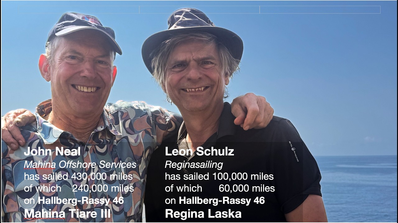

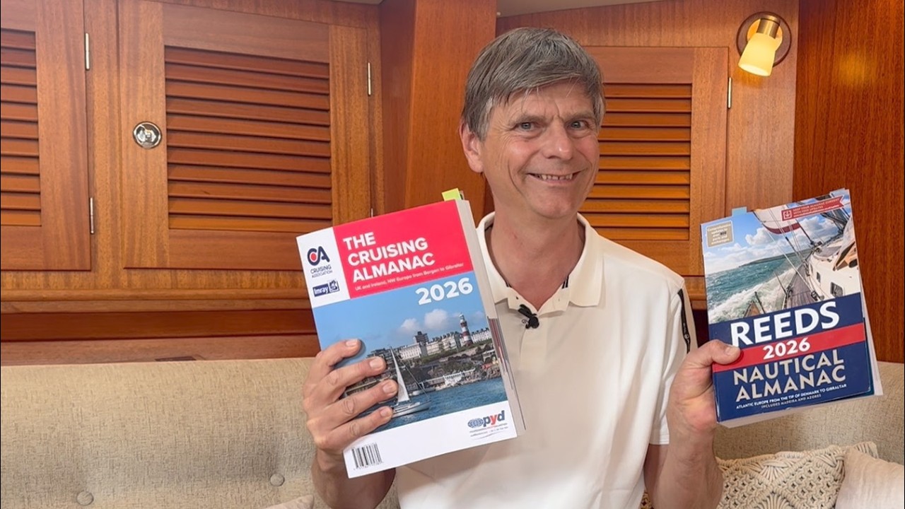

De Leon Schulz, Reginasailing — ve el barco, la tripulación y cada video analizado del canal.
The Sailing Directory Newsletter
Un correo electrónico con los mejores hallazgos de la flota: los momentos, barcos e historias que valen tu tiempo de visualización. Ingresa tu propia dirección para obtener tu propia copia.