Leon explains: Future of Paper Charts when planning a sailing passage
4 de junio de 2024 · 10 min · 1K vistas · Brittany
¿Qué cubre este video?
Passage planning requires a four-phase approach: appraisal, planning, execution, and monitoring. Leon Schulz advocates using paper charts alongside electronic navigation to maintain situational awareness, noting that even large 16-inch plotters lack the overview provided by a physical chart. While hydrographic offices shift toward digital products, publishers like Imray, NVCharts, and Delius Klasing continue to offer print-on-demand paper charts.
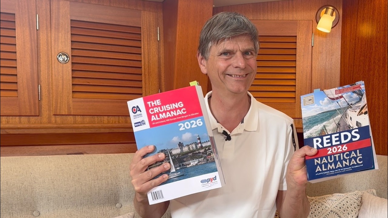
Effective planning involves using cruising almanacs such as the Imray Cruising Almanac for navigation and charts, or Reeds Nautical Almanac for secondary port calculations and contact information for local authorities and services. During the execution and monitoring phases, electronic charts, radar, and satellite imagery from Google Maps assist with real-time positioning and traffic avoidance. Cross-referencing electronic data with paper charts and transit lines remains critical, particularly in tidal areas like Morlaix, where buoys may mark channels that appear counterintuitive at high water. Proper planning includes pilotage plans for harbor entry and exit, accounting for tidal heights and currents to avoid grounding.
Paper charts and pilot books provide essential context for navigation that electronic displays often obscure.
Barcos en este video
Más de Leon Schulz, Reginasailing


De Leon Schulz, Reginasailing — ve el barco, la tripulación y cada video analizado del canal.
The Sailing Directory Newsletter
Un correo electrónico con los mejores hallazgos de la flota: los momentos, barcos e historias que valen tu tiempo de visualización. Ingresa tu propia dirección para obtener tu propia copia.