Sailing Doodlesvidéo
Sailing The Spinnaker - S2:E84
30 septembre 2018 · 9 min · 85K vues
Ce que couvre cette vidéo
Doodles sails 170 miles from Salamlaki to an uncharted atoll, relying on a combination of Navionics, Garmin, and Ovital Maps to navigate shallow reefs.0:12 Because standard electronic charts lack detail for the remote location, the crew uses Ovital Maps to overlay satellite imagery onto GPS coordinates to identify hazards.1:08 Upon arrival, they find the channel marked by local poles and anchor offshore to avoid potential reef damage.2:14 After exploring the island and hosting eight local men on board, the crew departs for a 300-mile passage to Segu.6:10 During the transit, the crew deploys a spinnaker in light downwind conditions to increase speed.6:19 They emphasize the importance of AIS for monitoring nearby vessel traffic and note that downwind sail configurations are essential for cruising.8:23 The crew removes the spinnaker before sunset to ensure safety during the overnight watch.7:58
Bateaux dans cette vidéo
Plus de vidéos de Sailing Doodles


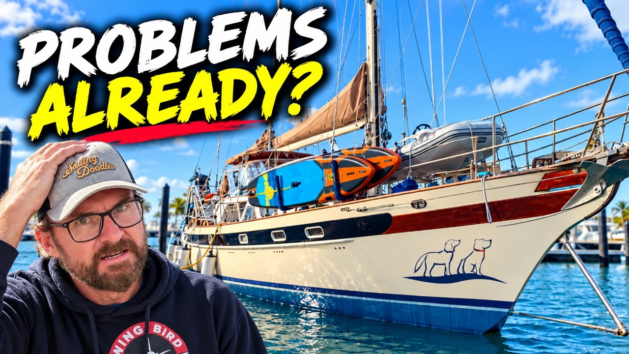


De Sailing Doodles — voir le bateau, l'équipage et chaque vidéo analysée de la chaîne.
The Sailing Directory Newsletter
Un e-mail avec les meilleures trouvailles de la flotte — les moments, les bateaux et les histoires qui valent la peine d'être regardés. Entrez votre adresse pour recevoir votre propre exemplaire.