City Sailingvideo
The Skill Every Navigator Must Know: Position Plotting
18 giugno 2020 · 7 min · 10K visualizzazioni
Cosa tratta questo video
Plotting a vessel's position on a paper chart requires precision with a Bretton plotter and dividers.0:28 To plot by latitude and longitude, identify the coordinates on the chart’s border scales.0:49 Use a pencil to mark the latitude on the side scale and the longitude on the top or bottom scale.2:04 Place the plotter at a 90-degree angle to the chart’s edge at these marks to draw intersecting lines; the intersection point marks the position.2:56 When plotting by bearing and distance, locate the reference point, such as a lighthouse, and align the plotter’s central disc with the chart’s vertical or horizontal grid lines.6:12 Ensure the plotter’s orientation arrow points toward the bearing before drawing the line.6:04 Measure the distance using the chart’s latitude scale, as one minute of latitude equals one nautical mile.6:52 Standing directly over the chart while marking prevents parallax errors and ensures the plotter remains square to the grid.6:33
Altro da City Sailing

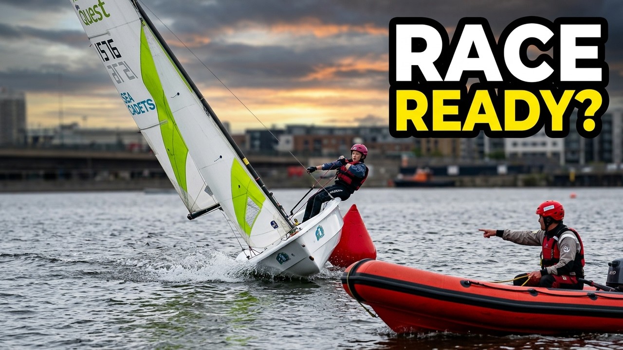

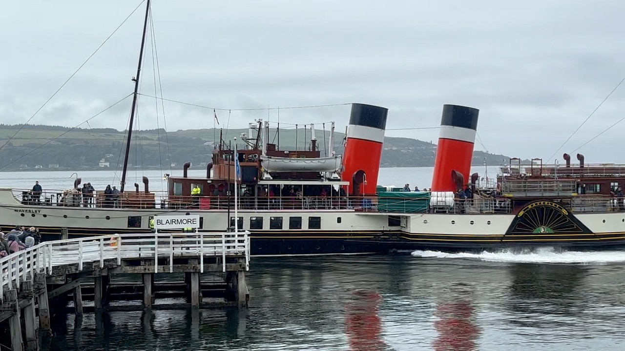

Da City Sailing — guarda la barca, l'equipaggio e ogni video analizzato del canale.
The Sailing Directory Newsletter
Una email con le migliori scoperte della flotta — i momenti, le barche e le storie che meritano il tuo tempo di visione. Inserisci il tuo indirizzo per riceverne una copia.