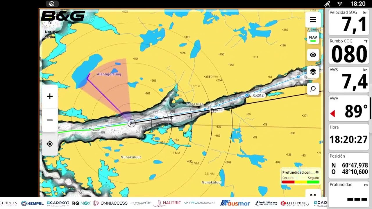
Plotter, Chart, Radar, AIS and Instruments 🧭⛵️ Complete B&G Zeus S Tutorial
22 marzo 2026 · 10 min · 22K visualizzazioni · Océano Índico
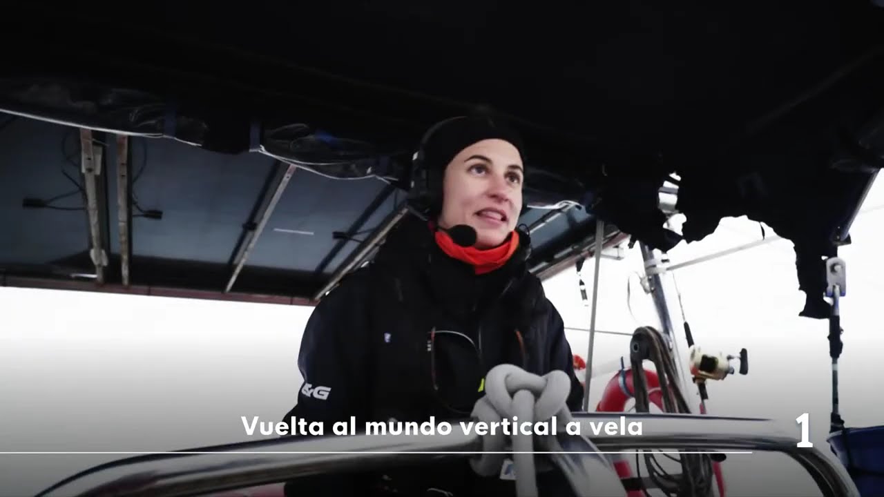
Sailboat cuts through rough seas under stormy sky
Cosa tratta questo video
The B&G Zeus 12 chartplotter serves as the central navigation hub for a 68-foot sailboat currently circumnavigating.1:36 This system integrates GPS, electronic charts, radar, AIS, depth sounders, wind instruments, and autopilot into a single interface.1:21 The electronic chart displays the vessel's position, depth, hazards, and navigational aids, while the radar layer identifies physical obstacles, coastlines, and weather cells that may not appear on digital maps.2:16 AIS integration provides real-time data on surrounding vessels, specifically calculating the Closest Point of Approach (CPA) and Time to Closest Point of Approach (TCPA) to assess collision risks.3:52 Users can overlay wind vectors and historical wind data to monitor shifts and gusts, with wind speed indicated by specific symbology on the display.5:32 Additional features include tracking the vessel's path, monitoring tidal data, and viewing live feeds from a masthead camera.6:58 The system allows for custom screen configurations tailored to coastal, oceanic, or racing conditions.7:33
Altro da Allende los Mares · Vuelta Vertical


Da Allende los Mares · Vuelta Vertical — guarda la barca, l'equipaggio e ogni video analizzato del canale.
The Sailing Directory Newsletter
Una email con le migliori scoperte della flotta — i momenti, le barche e le storie che meritano il tuo tempo di visione. Inserisci il tuo indirizzo per riceverne una copia.