Sailing in the Mediterranean, Caribbean, Atlantic - How to plan the route?
11 agosto 2017 · 3 min · 6K visualizzazioni · Bay of Biscay
Cosa tratta questo video
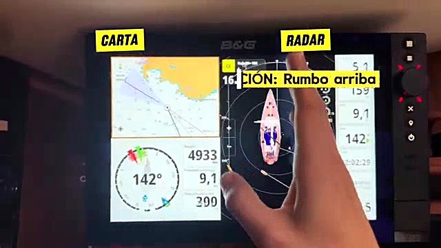
Planning a route for a northward transit from Portugal to the Netherlands requires significantly more rigorous meteorological analysis than coastal cruising in Greece.Watch While Greek summer sailing allows for spontaneous departures and flexible daily destinations based on consistent thermal winds, a long-distance passage demands constant monitoring of high and low-pressure systems, wind direction, and wind intensity.0:18 The crew utilizes the OpenCPN software to overlay GRIB weather files onto digital charts, allowing them to track their position relative to approaching depressions and forecast conditions day by day. Beyond weather, successful passage planning necessitates calculating fuel consumption to ensure sufficient range between ports. When coastal hopping, the crew relies on regional pilot books to identify safe anchorages, port services, and potential hazards. They also evaluate sea state by combining visual observations with detailed wave height forecasts. Navigating in stable, predictable regions permits a relaxed, day-to-day approach, whereas transiting between major maritime zones requires proactive weather routing and strict fuel management.
Altro da Allende los Mares · Vuelta Vertical
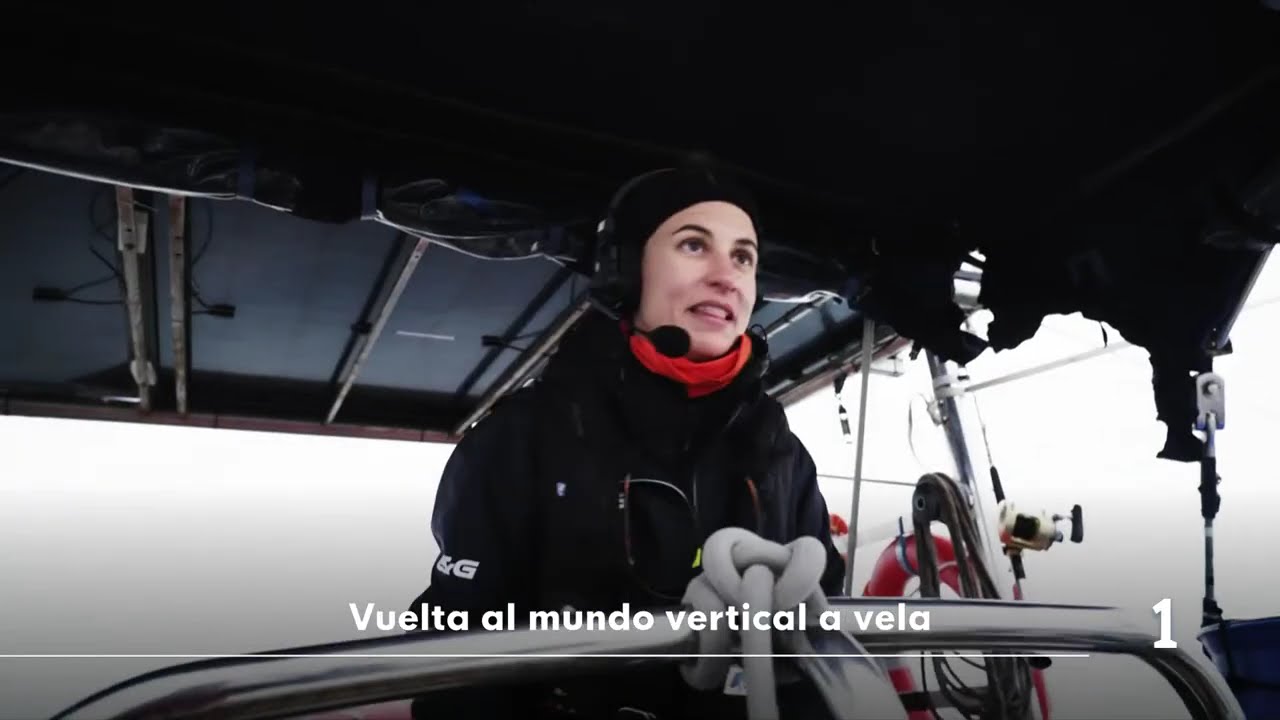
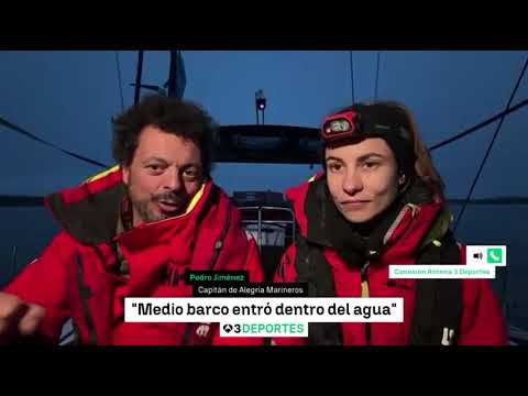
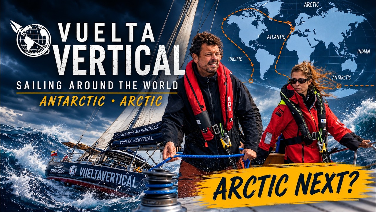

Da Allende los Mares · Vuelta Vertical — guarda la barca, l'equipaggio e ogni video analizzato del canale.
The Sailing Directory Newsletter
Una email con le migliori scoperte della flotta — i momenti, le barche e le storie che meritano il tuo tempo di visione. Inserisci il tuo indirizzo per riceverne una copia.