Planning a route for coastal sailing using TimeZero
August 17, 2021 · 2 min · 2K views · Cascais
What this video covers
Leon Schulz demonstrates coastal route planning using TimeZero software aboard a Hallberg-Rassy 46.0:06 He prioritizes raster charts for planning, noting that vector charts are better suited for active navigation.0:21 Before plotting, he configures safety parameters within the software, specifically setting a 5-meter safety depth and a 22-meter air draft to ensure the system flags unsafe legs.0:49 When creating a route from Cascais to Sines, the software automatically prevents waypoint placement within restricted areas like firing ranges.1:19 After plotting the 52-mile course, he sets a departure time of 10:00 UTC and inputs a speed through water of 6 knots to calculate an estimated arrival time of 18:45.2:13 He adjusts the speed to 7 knots to reflect favorable wind conditions, which updates the arrival time to 17:30.2:21 Maintaining all onboard timekeeping in UTC simplifies navigation across time zones.2:01
Boats in this video
More from Leon Schulz, Reginasailing
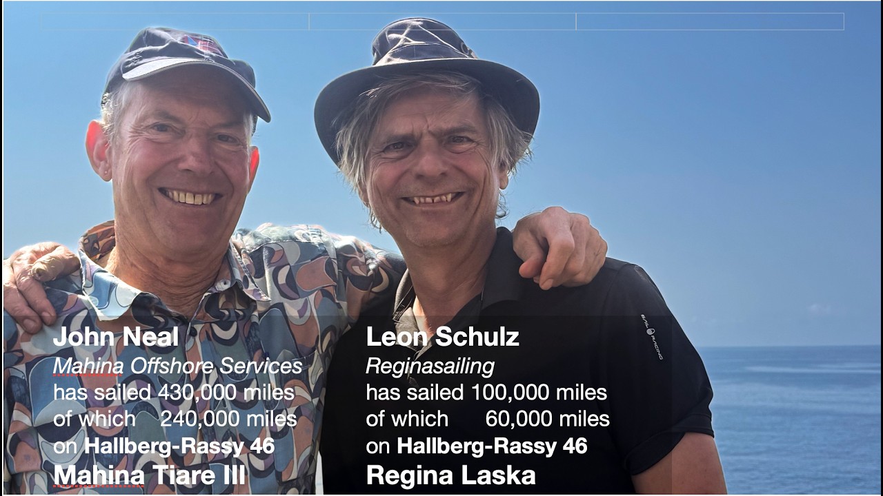


From Leon Schulz, Reginasailing — see the channel’s boat, crew, and every analyzed video.
The Sailing Directory Newsletter
One email with the fleet's best finds — the moments, boats, and stories worth your watch time. Enter your own address to get your own copy.