Leon Explains: Sources of weather forecasts
January 22, 2025 · 24 min · 742 views · Malta
What this video covers
Weather forecasting for sailors relies on a hierarchy of tools ranging from synoptic charts for broad planning to high-resolution models for local anchoring. Synoptic charts provide the most reliable overview of frontal systems, wind, and wave uncertainty, serving as a foundational map for passage planning.3:50 Computer-generated models, such as those found in apps like PredictWind, Windguru, and Windy, offer detailed data but often omit frontal movements and troughs.14:02 PredictWind provides specific advantages for offshore use, including cloud-based calculations that minimize bandwidth usage and high-resolution modeling—down to one kilometer—that accounts for coastal topography in areas like the Rias Baixas.15:42
Real-time data sources include weather radar for tracking precipitation, barographs for monitoring pressure trends, and ODAS buoys for live wave height and period data in deep water.4:22 Navtex remains a reliable, dedicated receiver for warnings and search-and-rescue information.12:31 When interpreting forecasts, sailors must distinguish between veering and backing wind shifts and understand that "rough" sea states indicate wave heights between 2.5 and 4 meters.20:48
Boats in this video
More from Leon Schulz, Reginasailing
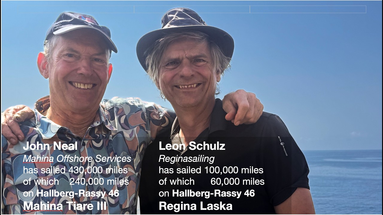

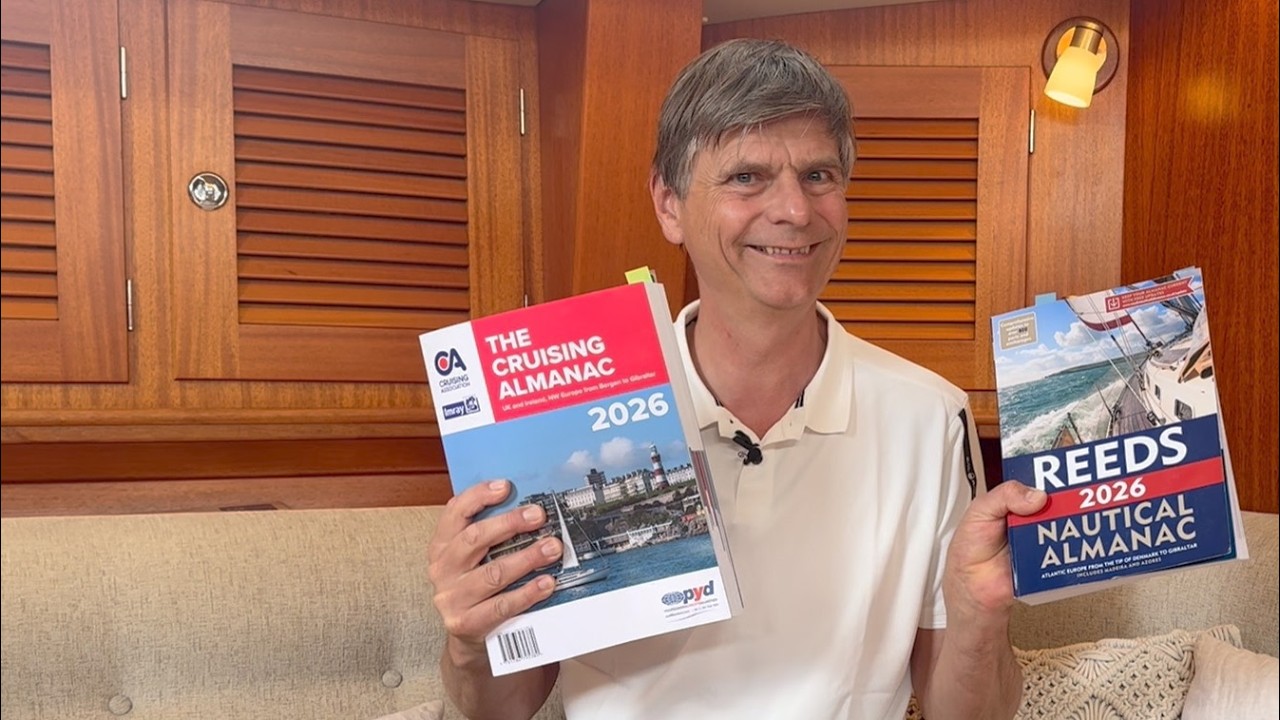

From Leon Schulz, Reginasailing — see the channel’s boat, crew, and every analyzed video.
The Sailing Directory Newsletter
One email with the fleet's best finds — the moments, boats, and stories worth your watch time. Enter your own address to get your own copy.