The Marinervídeo
The Flat Earth Debate Debunked in 10 Minutes by a Real Offshore Navigator
10 de mayo de 2026 · 9 min · 17K visitas · Lunenburg, Nova Scotia
Qué cubre este vídeo
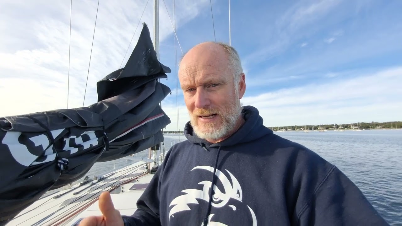
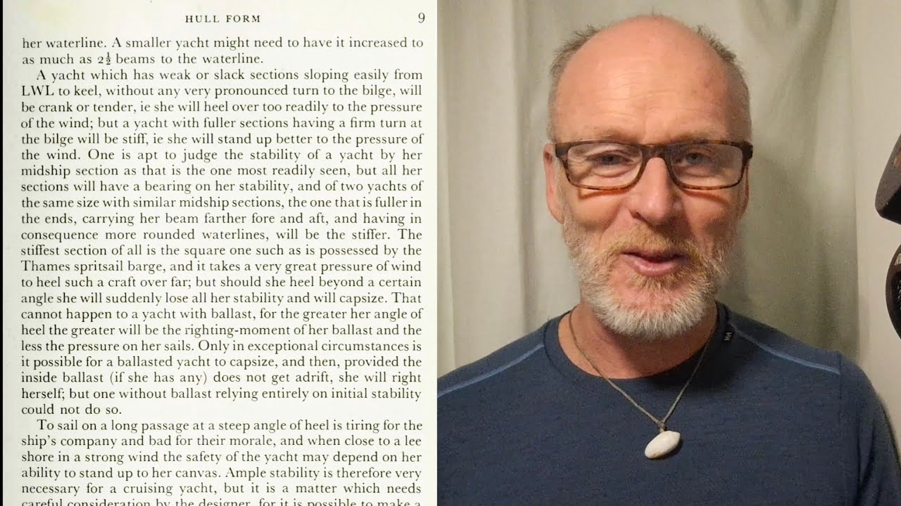
Chris, skipper of the 40-day Atlantic passage from Cherbourg to Lunenburg, Nova Scotia, uses the final approach to argue against flat-earth claims from a working navigator's perspective.Watch Aboard Osprey, he navigated roughly 4,000 miles using a Samsung S9 tablet running GPS, then pivots to explain why that GPS works — and why celestial navigation worked for centuries before it.0:28 The route ran south past the Bay of Biscay, Gibraltar, and around the Azores High to avoid its windless center, then north through heavy following seas and engine trouble before arriving in fog off the Canadian coast.0:44 The final challenge: entering Lunenburg harbour through a 1.7-mile gap between an island and a peninsula, in zero visibility, after 30 days at sea.2:22 The core argument is mathematical: celestial navigation relies on spherical trigonometry, where triangle interior angles can exceed 180 degrees, and every pre-GPS position on any chart was fixed by sextant using that geometry.6:21 A sextant — he shows a brass one aboard Osprey alongside a 1912 navigation text — is a physical, verifiable instrument anyone can buy and use.4:16 If planar trigonometry replaced spherical, every ocean crossing and every mapped position would fail.7:01 GPS satellites work for the same reason: they orbit a sphere.7:29
Más de The Mariner


De The Mariner — mira el barco del canal, la tripulación y cada vídeo analizado.
The Sailing Directory Newsletter
Un correo electrónico con los mejores hallazgos de la flota: los momentos, barcos e historias que merecen tu tiempo de visionado. Introduce tu dirección para recibir tu propia copia.