Erik Aanderaavidéo
I Crossed the North Sea Using Only a Compass
29 mars 2026 · 41 min · 111K vues · Haugesund
Fair Isle North Lighthouse perched on cliffs above crashing waves
Ce que couvre cette vidéo
Erik Aanderaa sails his boat Tessie 200 nautical miles from Haugesund, Norway, to Fair Isle — a small island on the boundary between the North Sea and the North Atlantic — using only magnetic compasses, no chartplotter, no AIS, and no GPS position fixes.0:51 He departs at 2200, planning a 35-hour passage to arrive in daylight.2:18 At the last lighthouse, Røva, he reads the COG from the chartplotter, aligns three compasses (including a 1854 antique from a Shetland fishing boat), sets a course of 250° to stay south of Fair Isle, then shuts all navigation electronics off.3:12 Dead reckoning relies on an assumed 6-knot boat speed and a position estimate updated every two hours.9:41 The Hydrovane steers once wind builds.11:41 He uses radar briefly in the shipping lane fog for collision avoidance without revealing position.8:25 An oil platform, Kringhornet, and later Harding platform provide two unplanned position fixes.14:23 He initially mistakes Sumburgh Head Lighthouse on Shetland for Fair Isle's south lighthouse before correcting course.23:09 After 35 hours he enters Fair Isle's harbour as the first visiting yacht of the year.27:37 The passage confirms that compass-only navigation across 200 miles of open sea is achievable but demands conservative course planning — staying deliberately upwind and upcurrent of the destination to allow a downwind final approach.
Plus de vidéos de Erik Aanderaa
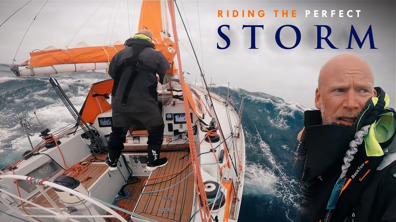
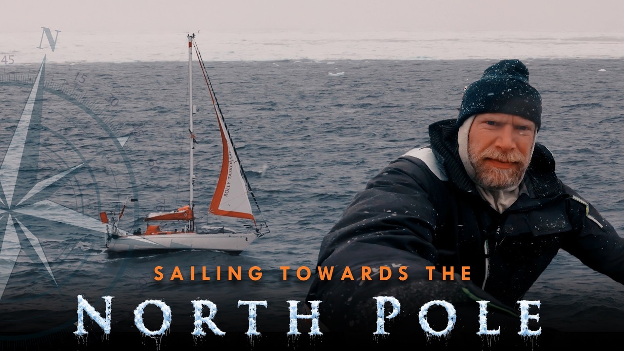
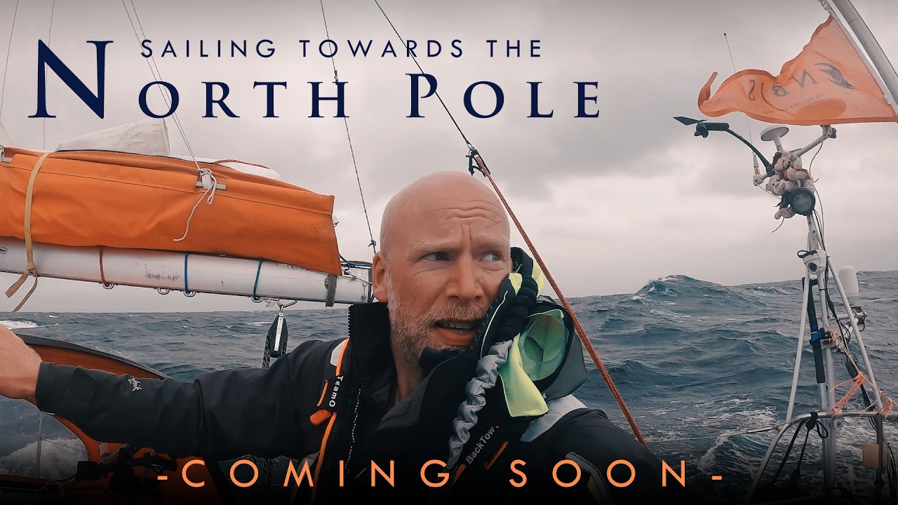

De Erik Aanderaa — voir le bateau, l'équipage et chaque vidéo analysée de la chaîne.
The Sailing Directory Newsletter
Un e-mail avec les meilleures trouvailles de la flotte — les moments, les bateaux et les histoires qui valent la peine d'être regardés. Entrez votre adresse pour recevoir votre propre exemplaire.