Wind Hippie Sailingvídeo
No Charts? No Problem Solomon Islands Cruising WHSE138
19 de março de 2024 · 27 min · 42K visualizações · Marovo Lagoon
O que este vídeo aborda
Sailing through Marovo Lagoon — the world's largest saltwater lagoon — Holly navigates the Solomon Islands aboard her boat Gekko using satellite charts and Navionics, with Navionics proving unreliable for showing reefs and bommies throughout the region.11:59 A 13.5-mile passage inside a double reef requires Holly to cross a shallow coral shelf alone, watching the depth sounder drop to 20 feet while bommies appear on both sides, with no one on the bow to spot coral through cloudy water.9:01 A second uncharted coral pass is tackled by sending Dan up the mast in a bosun's chair with a handheld VHF to direct Holly from aloft; the minimum depth over a coral range reaches three feet under the keel before they clear into a wide, easy anchorage.14:03 The Offline Maps app (Android only) supplements satellite imagery for route planning where charts are blank.3:19 Offshore at night, Holly and Dan encounter unlighted bamboo FADs every couple of miles eight miles offshore, nearly closing to 20 meters on one before altering course further seaward.18:04 A WWII plane wreck in the jungle at Marovo Lagoon, a failed manta ray search at a cleaning station, kite sessions, and a stop at Sanbis Resort near Gizo Island for wood-fired pizza round out the passage.Watch Mast-top lookout is the practical substitute when both charts and satellite imagery fail at a coral entrance.12:18
Barcos neste vídeo
Mais de Wind Hippie Sailing
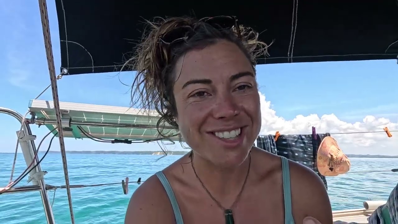
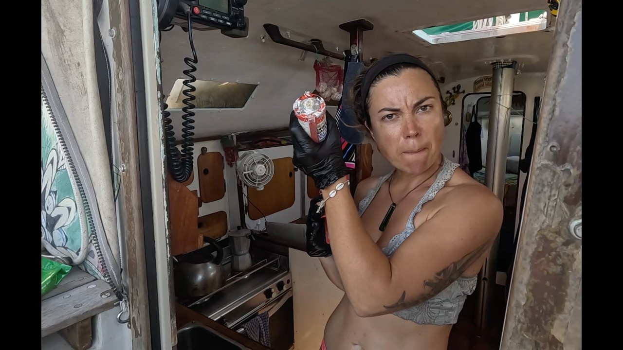
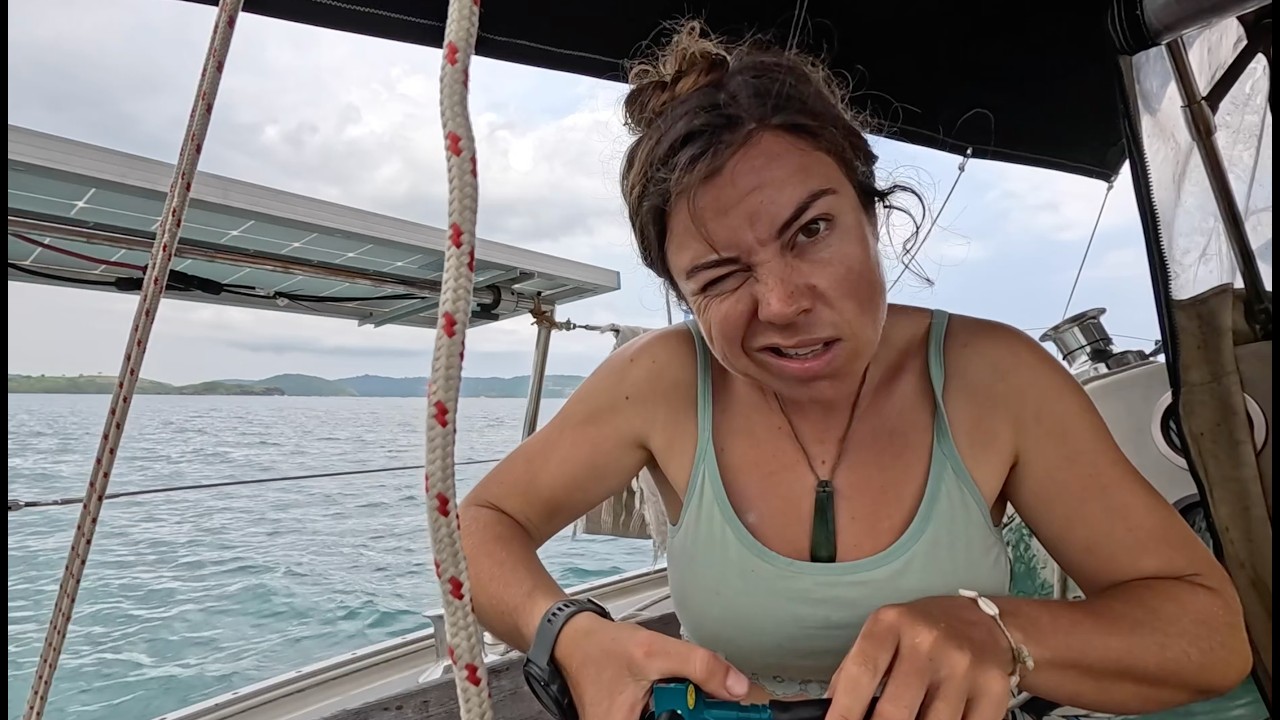

De Wind Hippie Sailing — veja o barco, a tripulação e cada vídeo analisado do canal.
The Sailing Directory Newsletter
Um e-mail com os melhores achados da frota — os momentos, barcos e histórias que valem o seu tempo de visualização. Insira seu endereço para receber sua própria cópia.