Tides Part 2: Using Charts and Books in Style
August 2, 2023 · 28 min · 881 views
What this video covers
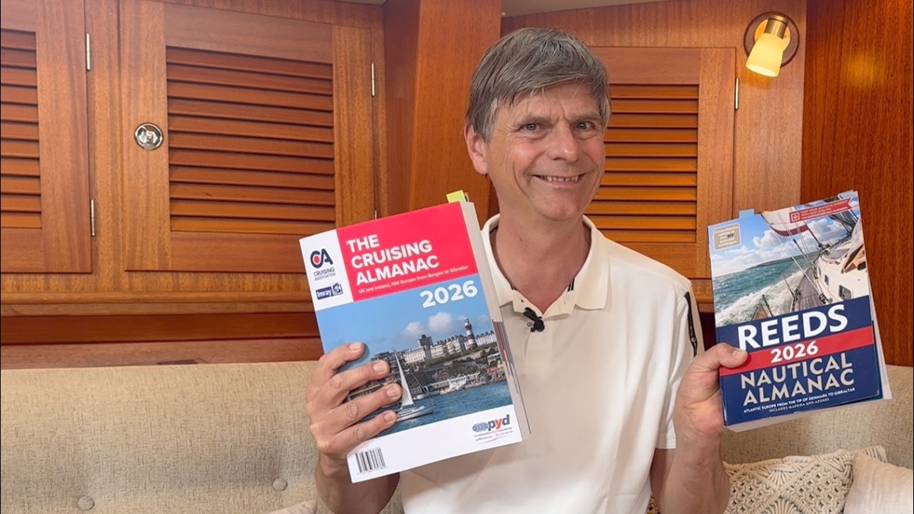
Tidal passage planning requires integrating data from paper charts, Reeds Nautical Almanac, and Imray pilot books to determine safe water depths and timing. Charts and almanacs define depths relative to Lowest Astronomical Tide (LAT), the theoretical minimum water level, while bridge clearances are calculated against Highest Astronomical Tide (HAT). Sailors must account for the daily fluctuation between high and low water, which follows a six-hour cycle, and adjust for the varying ranges between spring and neap tides. Spring tides, which produce the greatest range between high and low water, are strongest around the equinoxes in March and September when the sun, moon, and earth align.
When planning a route, identify the time of high water, the height of high water, and the height of low water from the almanac to calculate the actual depth at a specific time. Avoid tidal races by timing transits for slack water. When wind opposes the tide, known as wind-over-tide, expect steeper, shorter-frequency waves that increase vessel motion. Always verify minimum depths against the vessel's draft, noting that charts represent the worst-case scenario for depth.
Boats in this video
More from Leon Schulz, Reginasailing
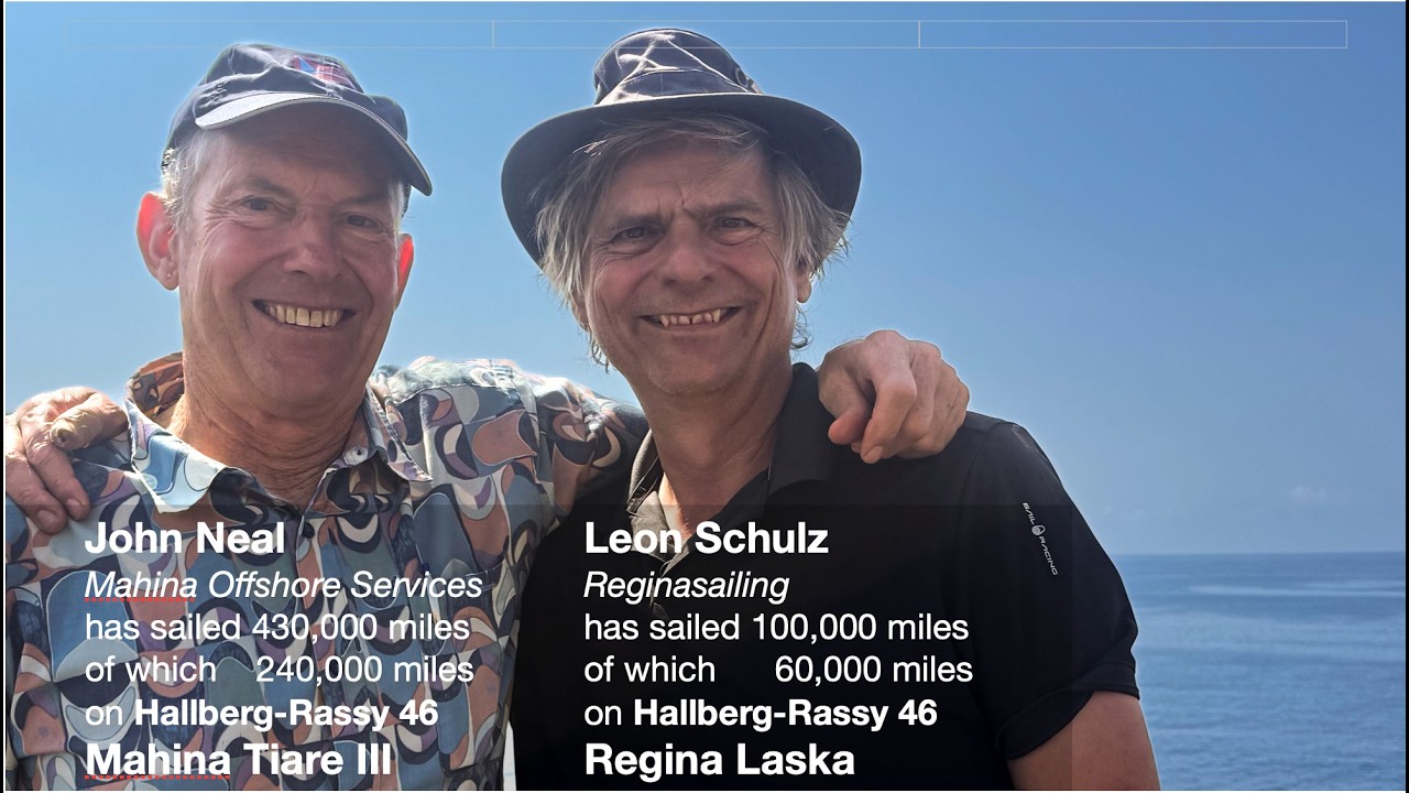

From Leon Schulz, Reginasailing — see the channel’s boat, crew, and every analyzed video.
The Sailing Directory Newsletter
One email with the fleet's best finds — the moments, boats, and stories worth your watch time. Enter your own address to get your own copy.