The Missing Layer in Marine Navigation — SeaTV for Navigation Apps
5 May 2026 · 1 min · 539 views
What this video covers
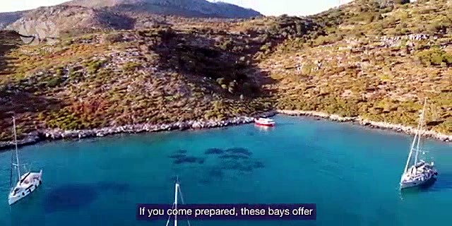
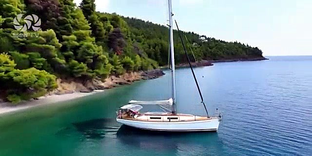
A company called CTV is building a visual pilot library for Mediterranean anchorages and marinas, targeting the gap between chart data and real-world appearance that navigation apps currently leave unfilled. Existing apps supply charts, depth soundings, and user reviews but no imagery of what an entrance or anchorage actually looks like on approach.0:07 CTV fills that gap by combining aerial drone footage with sea-level navigation perspectives to produce visual pilot coverage of each location.0:15 An AI layer processes the visual database to generate personalized sailing routes and surface relevant information about anchorages, marinas, and nearby attractions.0:39 The pitch positions this visual intelligence as an integration layer for existing navigation platforms rather than a standalone app, with the stated goals of improving decision-making, safety, and user engagement across the Mediterranean.0:48
More from SeaTV Sailing Channel

From SeaTV Sailing Channel — see the channel’s boat, crew, and every analysed video.
The Sailing Directory Newsletter
One email with the fleet's best finds — the moments, boats, and stories worth your watch time. Enter your own address to get your own copy.