Part 2(2): The Quick Course to Celestial Navigation
7 July 2023 · 31 min · 3K views
What this video covers
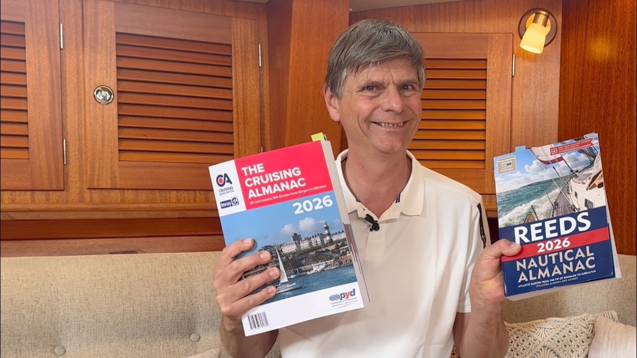
Celestial navigation requires comparing an observed altitude (Ho) of the sun, measured with a sextant, against a pre-calculated altitude (Hc) derived from sight reduction tables.1:20 To perform this calculation, a navigator must determine the sun’s declination and Greenwich Hour Angle (GHA) using an astronomical almanac and a precise clock.4:11 Because sight reduction tables are printed for full degrees of latitude and Local Hour Angle (LHA), the navigator selects an "assumed position" near their estimated location that satisfies these whole-degree requirements.9:51 The difference between the observed and calculated altitudes provides the "intercept," a distance in nautical miles that defines a position line relative to the assumed position.13:55 By plotting two such lines—often taken at different times and adjusted for the vessel's movement—a navigator establishes a fix.17:03 While manual calculation using almanacs and tables is standard, digital apps can also generate the required Hc and azimuth values.21:05
Boats in this video
More from Leon Schulz, Reginasailing


From Leon Schulz, Reginasailing — see the channel’s boat, crew, and every analysed video.
The Sailing Directory Newsletter
One email with the fleet's best finds — the moments, boats, and stories worth your watch time. Enter your own address to get your own copy.