A bordo del Thaliavideo
Quick guide to Navionics
30 June 2024 · 20 min · 16K views
What this video covers
Navionics provides digital chart plotting, route planning, and navigation tracking for sailors.Watch Users download specific map sectors via the menu, which then display detailed bathymetry, navigational aids, and points of interest like fuel stations and yacht clubs.0:26 The application allows for both manual and automatic route generation, with the latter calculating distance, estimated duration, and fuel consumption based on user-defined vessel parameters such as draft, length, and average speed.8:57
The interface supports AIS integration for collision alarms, tide and current data, and real-time weather overlays when connected to the internet.6:01 Sailors can record tracks to analyze past voyages, including average speeds and stopovers, or share their live location with others.14:30 The software features day and night display modes, customizable depth shading, and sonar chart overlays for improved bottom detail.5:35 Regular map updates ensure that navigational markers and hazards remain current.18:50 Pairing the application with an echosounder and VHF radio provides a comprehensive navigation suite for coastal and inland cruising.20:25
More from A bordo del Thalia

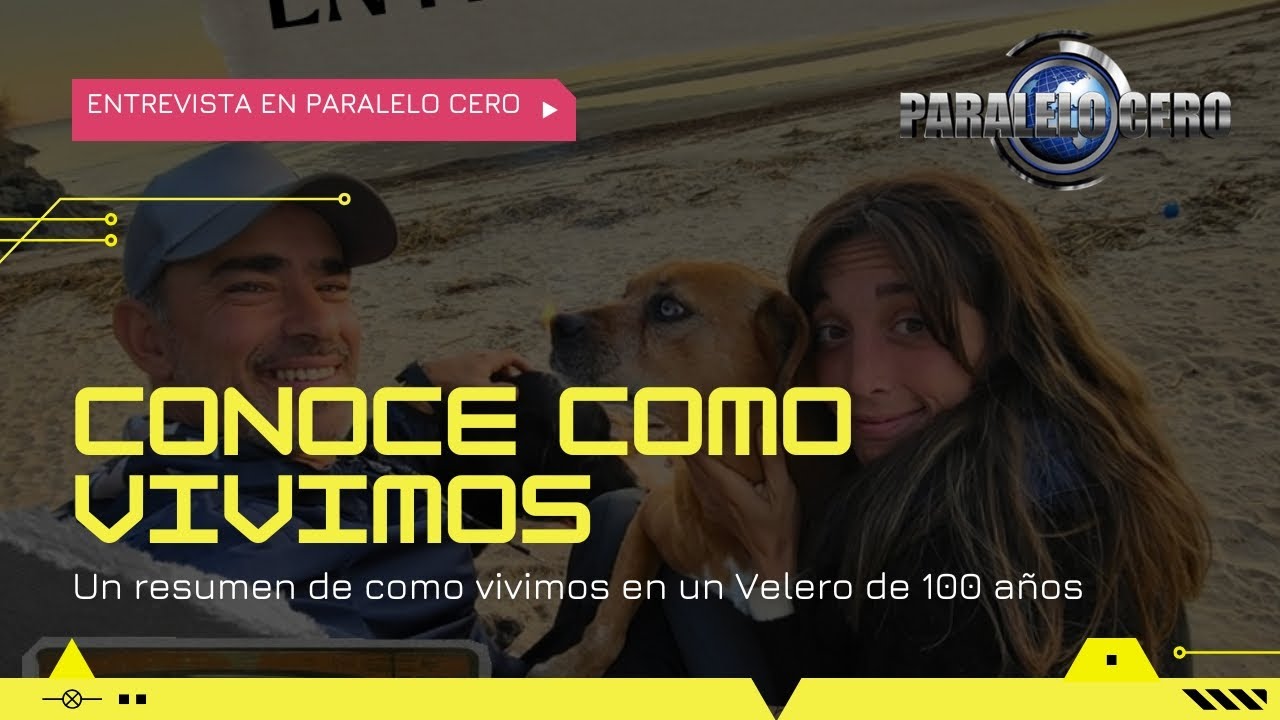


From A bordo del Thalia — see the channel’s boat, crew, and every analysed video.
The Sailing Directory Newsletter
One email with the fleet's best finds — the moments, boats, and stories worth your watch time. Enter your own address to get your own copy.